Climate & Environment
Meteorologist Chris Bailey Forecasts Multiple Rounds of Storms This Week
By Chris Bailey
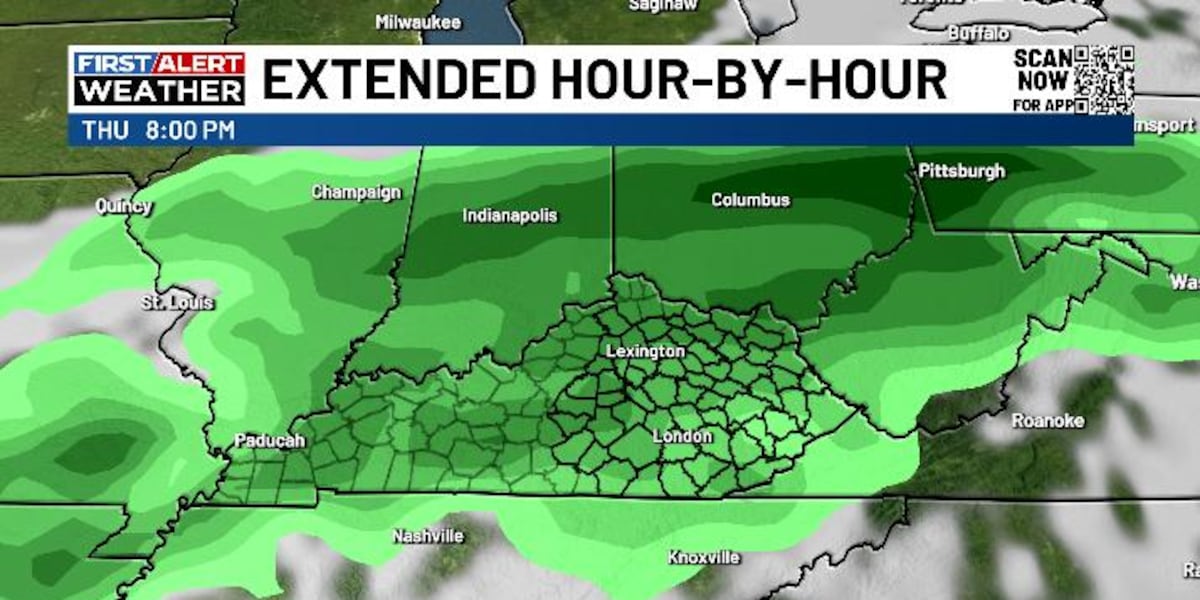
LEXINGTON, Ky. (WKYT) - Conditions remain mostly calm across the region today, though forecasters say the weather pattern will soon turn more active. High temperatures are expected to reach the mid-to-upper 80s across central and eastern Kentucky, with readings in the low 90s farther west. An isolated shower or thunderstorm is possible during the afternoon.
On Wednesday, temperatures will be similar to Tuesday's, but a strong southwest wind will develop, bringing gusts of 25 to 30 mph at times. A few storms may also form later in the afternoon and evening as a strong cold front approaches the region.
That front is expected to move through on Thursday, triggering rounds of showers and thunderstorms that could continue through Thursday night. Meteorologists say a few of these storms could become strong to severe, particularly Wednesday night and Thursday, with the potential for heavy rainfall.
The front is expected to linger into the weekend, raising the chance for additional showers and storms across the area.