Climate & Environment
Kentucky Set for Midweek Heat Before Thursday Storms Arrive
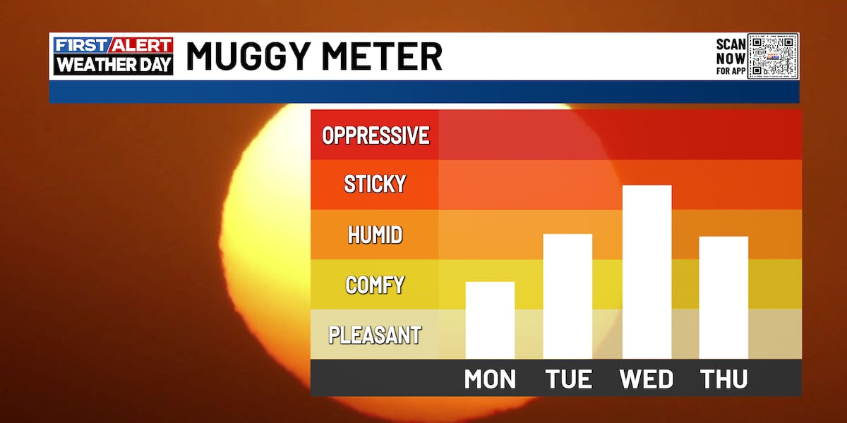
LEXINGTON, Ky. — After a cooler-than-usual start to Labor Day, warmer and more humid weather is expected to return to the region in the coming days, according to a forecast from WKYT.
Labor Day itself will feature passing clouds with afternoon temperatures climbing into the mid to upper 80s. Residents in the Lake Cumberland area could see a slight chance of light rain between 8 and 11 p.m. Aside from that, dry conditions are expected to persist through late Wednesday night.
Temperatures are forecast to gradually rise over the next several days, reaching the low 90s by Wednesday. Humidity levels will also increase, making conditions feel muggy midweek.
A brief cooldown is expected Friday, with highs dropping to the low 80s, but the reprieve won't last. By the following Sunday, temperatures are expected to climb back into the upper 80s, with some areas reaching the low 90s.
Showers and thunderstorms are anticipated to move in from the north late Wednesday night, becoming more widespread on Thursday. Scattered showers may linger into Friday and Saturday.