Climate & Environment
Western Washington to See Back‑to‑Back Rainy Systems Through Weekend
By Ted Buehner
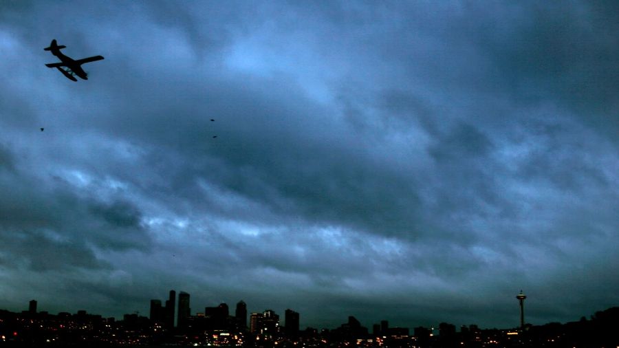
Western Washington will receive a series of rain and wind events through the weekend as several weather systems move across the North Pacific. The first system brought rain to the region on Wednesday night. A second system is expected to bring more rain and blustery winds on Friday, with the strongest winds along the coast and from about Whidbey Island northward. A third system will arrive Saturday night into Sunday, adding additional rain and wind. A strong jet stream at about 30,000 feet, with speeds exceeding 150 mph, is feeding energy into these systems. Total rainfall is projected to be one to three inches along the coast and in the mountains, and between a half inch and an inch and a half in the western interior. Occasional sunshine is expected between the systems. Temperatures will remain mild, with highs in the 50s and lows in the 40s. Mountain snow levels are expected to stay above the highway passes, ranging from about 4,500 to 8,000 feet and shifting with each system. The wet pattern is likely to continue into next week, keeping November on track as the wettest month of the year. The forecast was provided by KIRO Newsradio meteorologist Ted Buehner.
Frequently asked questions
How much rainfall is projected along the coast and in the mountains?
One to three inches.
What temperatures are expected during the weekend?
Highs in the 50s and lows in the 40s.
What are the expected mountain snow levels?
Above the highway passes, ranging from about 4,500 to 8,000 feet.