Climate & Environment
Cooler Temperatures Return as Rain Remains Intermittent
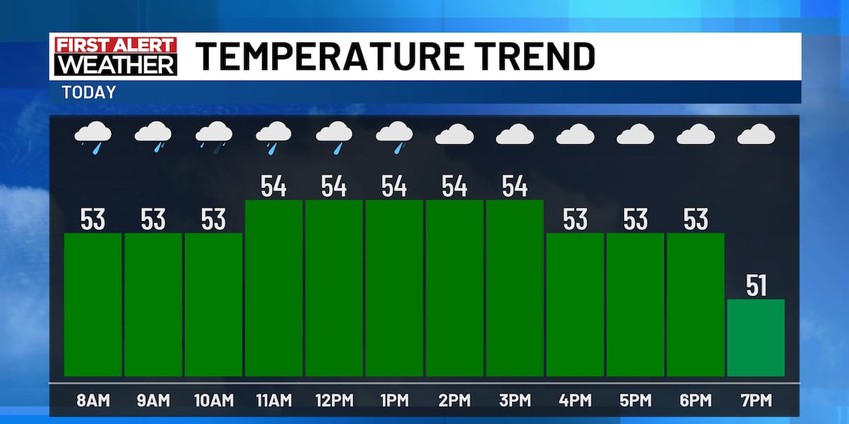
SAGINAW, Mich. (WNEM) – A new airmass has arrived, bringing temperatures back to more typical levels for this time of year. The area will experience intermittent rain showers through today, tonight, and Friday, but the weekend should be drier.
Temperatures have dropped sharply from Tuesday and Wednesday, with this morning’s lows in the lower to middle 50s. Highs will stay around 53 degrees, with wind speeds of 10 to 15 mph from the southwest and gusts up to 25 mph. Tonight’s lows will fall to about 40 degrees, with winds veering northwest at 10 to 15 mph and gusts up to 20 mph.
Friday’s daytime temperatures will remain near 44 to 46 degrees, with northwesterly winds and gusts up to 25 mph. Saturday highs will reach only about 50 degrees, and Sunday will top out near 57 degrees—above average for the season but still below the 60s and 70s seen earlier in the week.
The weekend forecast shows a shift to cloudiness on Saturday morning, with sunshine increasing in the afternoon, and a mostly sunny Sunday.
Rain chances remain light. Showers are expected late in the morning and sometimes in the afternoon today, with a possible increase on Friday morning as a lake‑effect pattern develops. This could bring a swath of rain across the northern Thumb and areas near Saginaw Bay, especially north of M‑46. Friday night will see the last of the rain moving across the Thumb, exiting by Saturday morning.
Copyright 2026 WNEM. All rights reserved.