Climate & Environment
Tuesday Showers, Wednesday Storms, Then Cooling Off
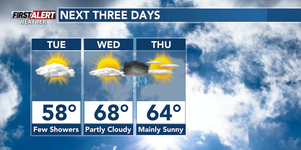
The much‑needed rain is still coming this week. Tuesday will start with early showers, especially for those living further north or west. The rain will be less scattered than Monday’s, with light totals expected. Most of the rainfall should be out of north central Wisconsin by midday. Tuesday’s weather will be mainly cloudy, with highs in the mid‑to‑upper 50s in the Northwoods (Rhinelander, Tomahawk, Minocqua) and around Highway 29 (Wausau, Colby/Abbotsford, Mosinee). Areas south of Highway 10 (Stevens Point, Marshfield, Wisconsin Rapids) should see lows to mid‑60s. Breezy winds, gusting up to 20‑25 mph from the southeast, are expected in the afternoon, calming toward late Tuesday and early Wednesday.
Wednesday will be the warmest day of the week, with partly cloudy skies and highs in the mid‑to‑upper 60s. Those further south may see temperatures climb into the 70s. More rain is expected, with thunderstorms from Wednesday night into Thursday morning. No severe weather is anticipated. A cold front will move through, cooling temperatures toward the end of the week.
Thursday will feature mainly sunny to partly cloudy skies behind the cold front, with highs in the low‑to‑mid 60s. Friday will see cooler highs, with many areas not reaching 60 °F in the afternoon; skies will be partly cloudy. Rain is expected to return over the weekend, with Saturday bringing additional showers. The amount of rain is still uncertain. Despite the precipitation, temperatures are projected to remain above average for late October and early November.
For more forecast details, check the WSAW First Alert Weather Forecast for central Wisconsin over the next 12 hours.