Climate & Environment
Hurricane Lowell Shifts Eastward, Raising Threat of Direct Hit on Hawaii
By Raymond Sanchez , Julian Atienza Source FOX Weather
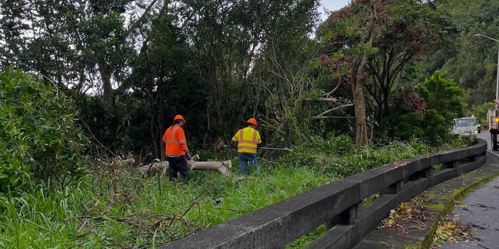
Hurricane Lowell, a powerful Category 2 storm, is threatening a rare direct hit on Hawaii after its track shifted farther east early Monday morning local time, moving closer to the western islands of Ni'ihau and Kaua'i. Heavy rain from the storm has already caused flash flooding on Oahu, while dangerous surf batters the state's southern shores.
The National Hurricane Center (NHC) issued a Tropical Storm Warning for Oahu, the most populated island in Hawaii, following the eastward shift. A Hurricane Warning remains in effect for Kaua'i County and parts of the Papahānaumokuākea Marine National Monument, a chain of smaller islands northwest of the main populated islands.
The National Weather Service in Honolulu also issued a rare Tornado Watch through 10 a.m. EST, the first such watch issued for the area since at least 2008. A Flash Flood Warning was issued Monday night for northern Kaua'i.
As of the latest advisory, Lowell had maximum sustained winds of 110 mph and was located about 170 miles southwest of Lihue, moving north-northeast at 18 mph. The storm had weakened from a Category 3 to a Category 2 by the 5 p.m. advisory, according to the NHC.
Forecasters expect Lowell to bring additional heavy rain, flash flooding, strong winds and dangerous surf across the islands, with its closest approach expected late Monday into early Tuesday. The storm's center could pass within 100 miles of Ni'ihau, raising the possibility of a rare direct impact on the islands.
Hawaii Gov. Josh Green declared a state of emergency last Thursday ahead of the storm. Residents on Kaua'i were advised by officials to stockpile at least three days of food and supplies, and those in low-lying areas were urged to prepare evacuation plans. Some residents on the Big Island boarded up their homes as a precaution.
Flash flooding was already reported Sunday afternoon along the Kamehameha Highway north of Waikane on Oahu.
Lowell was initially forecast to pass farther west of Hawaii, but its path has continued shifting eastward since Saturday. While a direct landfall is not expected, hurricane conditions are becoming more likely on Ni'ihau and Kaua'i due to the storm's close approach.
Wind gusts on Kaua'i are expected to reach 50 to 70 mph at beach areas, with higher elevations potentially seeing gusts over 75 mph. Oahu is forecast to experience southerly winds gusting between 25 and 35 mph.
The NHC warned that tornadoes could develop within Lowell's outer bands over Ni'ihau and Kaua'i from Monday afternoon into the evening. As the storm nears, life-threatening surf of 20 to 30 feet is expected along south- and west-facing shores, with the NHC warning of ocean water surging over beaches, coastal areas and roadways, posing risks to coastal properties and infrastructure.
Rainfall totals of 6 to 10 inches are expected on Kaua'i, with isolated areas possibly receiving up to 16 inches. The Big Island could see 4 to 6 inches, with localized totals up to 12 inches, while Maui and Oahu are forecast to receive 4 to 8 inches of rain.
FOX Weather Hurricane Specialist Bryan Norcross noted that the Big Island could see very heavy rain on the same slopes damaged earlier by Hurricane Lala, with additional heavy rain expected on windward slopes throughout the island chain.
Lowell is expected to make its closest approach around midnight before accelerating away Tuesday morning, with winds and surf subsiding by Tuesday night.
The storm previously peaked as a Category 5 hurricane last Wednesday with winds of up to 160 mph, before weakening to Category 3 and then Category 4 strength by Thursday and Friday. Lowell was the first Category 5 storm in the Central Pacific Basin since Hurricane Walaka in October 2018.