World
Japan Demands Correction of New UN World Map Over Kuril Islands Depiction
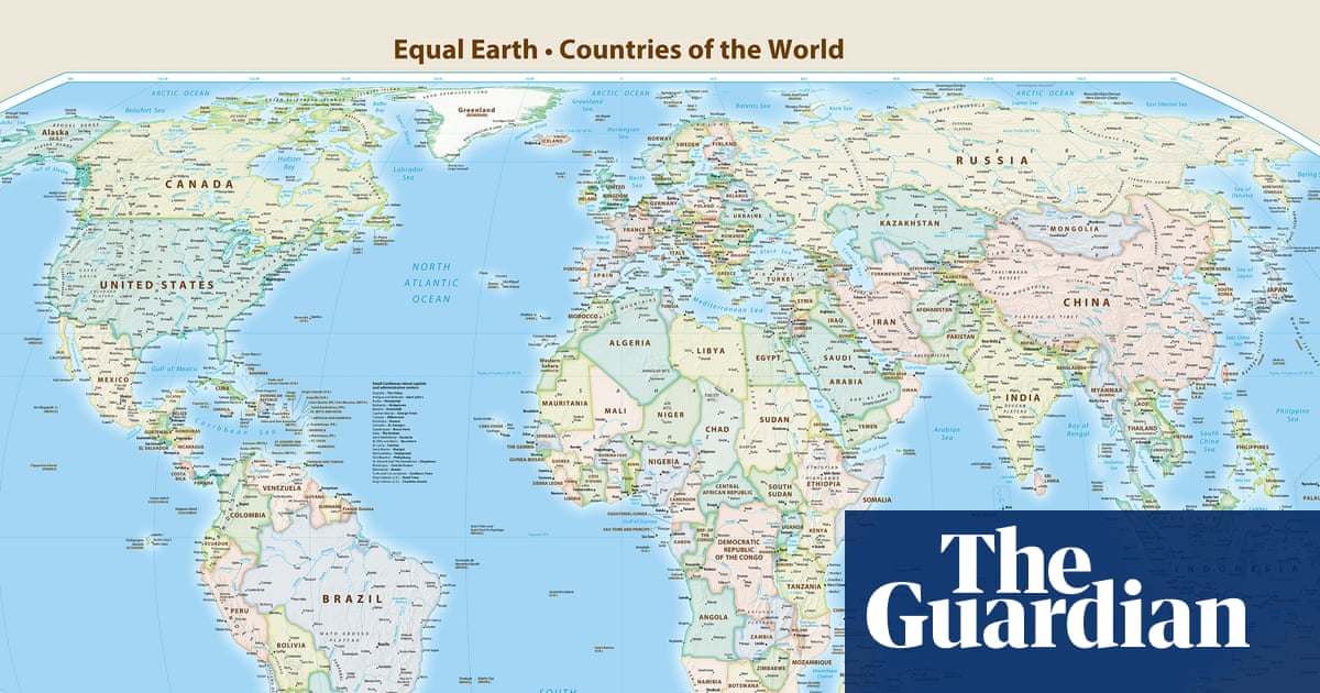
Japan has requested changes to a newly adopted United Nations world map, arguing it incorrectly suggests the disputed Kuril Islands belong to Russia. The UN general assembly voted on Friday to adopt the map, called the Equal Earth cartographic projection, which enlarges the African continent while reducing the apparent size of North America and Europe compared to traditional Mercator-style maps. The US has criticized the map's adoption. Japan was among 164 UN member states that voted in favor of the resolution but has since objected because the map displays the Kuril Islands, referred to in Japan as the Northern Territories, using the same color as Russian territory. Japanese government spokesperson Minoru Kihara said on Thursday that the map 'contained a depiction contradicting the Japanese government's position.' He stated that Japan had lodged a formal protest through diplomatic channels with the map's operator, demanding a correction. Kihara did not specify when the issue was first raised with the government but emphasized the need to prevent misunderstandings about Japan's territories and place names from spreading. The Kuril Islands were seized by the Soviet Union in 1945, which subsequently expelled the Japanese residents living there. Tensions between Japan and Russia escalated last month after Russian President Vladimir Putin made his first visit to the disputed islands. In response, Japan summoned Russia's ambassador, and Prime Minister Sanae Takaichi condemned the visit as 'absolutely unacceptable,' saying it 'offends the sentiments of the Japanese people.' She reaffirmed that the islands are 'an inherent part of Japan's territory, both historically and under international law.' Russia rejected these statements, describing them as 'politically inappropriate, insulting and, of course, legally unfounded.' Separately, Ukraine abstained from last week's UN vote on the map, objecting to the depiction of occupied Crimea in a color different from the rest of Ukrainian territory. Ukrainian representatives warned this could open a 'Pandora's box' that violates the UN charter and international law. Ukraine was one of six countries that abstained from the vote. The UN said the new map was intended to offer 'a more accurate representation' of continental landmasses than traditional Mercator projections provide.