Climate & Environment
Bachupally and Ameerpet Show Record Groundwater Depletion, 14 Mandals in Extreme Drought
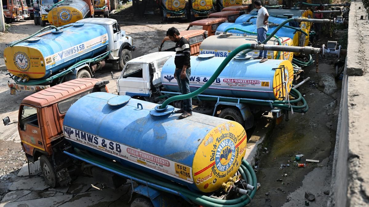
Bachupally and Ameerpet in Telangana’s capital have recorded the lowest Groundwater Drought Index (GWDI) values in the state, indicating severe groundwater depletion. According to the Ground Water Department, at least fourteen mandals in the Core Urban Region (CURE) are experiencing ‘Extreme Drought’ conditions, while five more are classified as ‘Severe Drought’. The GWDI ranks mandals from Normal to Extreme Drought based on the difference between the historical mean depth to the groundwater table and the current month’s depth, divided by the historical maximum depth for that month. A GWDI below –0.6 signals extreme drought.
Bachupally, in the Medchal‑Malkajgiri district, has the worst situation in the state with a GWDI of –2.7, the lowest recorded. Ameerpet follows with a GWDI of –1.7. In September 2026, Ameerpet’s groundwater depth reached 32.07 m below ground level (m bgl), more than double the previous 10‑year September maximum of 13.36 m. Bachupally’s depth was 30 m bgl, over three times the 10‑year September maximum of 9.06 m.
Other mandals under extreme drought include Saidabad (–1.15), Golconda (–1.02), Rajendranagar (–1.02), Asifnagar (–0.87), Secunderabad (–0.84), Bandlaguda (–0.75), Bahadurpura (–0.64), Amberpet (–0.64), Ghatkesar (–0.81), Medipally (–0.8), Kukatpally (–0.76), and Hayatnagar (–0.91). Mandals that may be classified as severe drought are Khairatabad, Balanagar, Qutbullahpur, Gandipet, and Abdullaupurmet.
A total of 33 mandals across Telangana have GWDI values below –0.6, indicating extreme drought. The state’s average groundwater depth in September 2026 was 7.52 m bgl, a drop of 3.11 m from September 2025’s 4.41 m. The department collects monthly data from 1,771 monitoring stations in 621 mandals across 33 districts, covering various hydro‑geological and geo‑morphological units.
Published – October 28, 2026 12:42 am IST
Frequently asked questions
What is the Groundwater Drought Index (GWDI) and how is it calculated?
The GWDI ranks mandals from Normal to Extreme Drought based on the difference between the historical mean depth to the groundwater table and the current month’s depth, divided by the historical maximum depth for that month. A GWDI below –0.6 signals extreme drought.
Which mandals in Telangana are experiencing extreme drought?
The 14 mandals experiencing extreme drought are Bachupally, Ameerpet, Saidabad, Golconda, Rajendranagar, Asifnagar, Secunderabad, Bandlaguda, Bahadurpura, Amberpet, Ghatkesar, Medipally, Kukatpally, and Hayatnagar.
What are the groundwater depths recorded in Bachupally and Ameerpet in September 2026?
In September 2026, Ameerpet’s groundwater depth reached 32.07 m bgl, more than double the previous 10‑year September maximum of 13.36 m. Bachupally’s depth was 30 m bgl, over three times the 10‑year September maximum of 9.06 m.