India
India Plans Satellite‑Based Tolling to Replace Traditional Plazas by 2028‑29
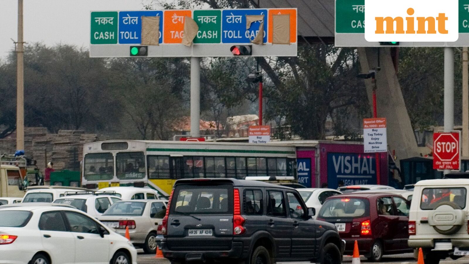
India is planning to replace traditional toll plazas with satellite‑based toll collection on selected national highways by 2028–29. The new system would allow motorists to drive through toll points without stopping and pay only for the distance travelled, according to two officials familiar with the plan. The proposed global navigation satellite system (GNSS) or GPS‑based tolling would complement existing FASTag and multi‑lane free flow (MLFF) systems, which still rely on roadside gantries and cameras to identify vehicles and collect tolls. The Ministry of Road Transport and Highways (MoRTH) has commissioned a fully funded centre of excellence to research and develop a reliable system for satellite‑based tolling. Deployment on select stretches is targeted for 2028, pending technical readiness and the expansion of India’s 24×7 satellite navigation coverage. Unlike fixed‑location tolls, GNSS‑based tolling uses satellite positioning and compatible in‑vehicle devices to track travel on designated highways and calculate charges based on distance covered. This could allow motorists who exit a highway before a toll point to pay only for the tolled segment they actually used. Existing toll plazas can slow traffic, and flat charges may not reflect actual distance travelled; even barrier‑free systems still require roadside infrastructure. The government’s move follows efforts to expand barrierless MLFF tolling, which removes queues but retains physical infrastructure. GNSS could eventually eliminate toll plazas and their infrastructure, though cameras and other enforcement mechanisms may remain. Experts say India can adopt GNSS tolling from a technology standpoint, but only in phases. Enforcement, interoperability, cybersecurity, data privacy and grievance redressal would need to be addressed before wider deployment. Instances of violations under FASTag and MLFF could pose revenue risks for highway asset owners. India’s existing electronic tolling ecosystem, vehicle‑registration databases and NavIC satellite‑navigation capability provide a foundation for the transition, but the 2028 timeline should be viewed as the start of a phased transition rather than an automatic nationwide rollout. Accurate positioning, compatible onboard devices, digital road maps, payment integration and fraud safeguards are essential. The proposed IIT Kanpur roadmap should assess corridor suitability, technology costs, positioning accuracy and regulatory requirements before implementation. Pilots on selected stretches would help establish operational reliability and cost‑effectiveness. A pilot was conducted in 2024 on a section of the Golden Quadrilateral, with encouraging results, but challenges involving highway geofencing, onboard device availability and pricing, distance‑based charging policies and the impact on existing concession agreements need to be addressed. Satellite‑based tolling is already in practice globally: Germany uses satellite positioning and onboard units to levy distance‑based tolls on heavy goods vehicles; Slovakia and Hungary use electronic distance‑based tolling for heavy vehicles; Singapore is transitioning to a GNSS‑based electronic road pricing system scheduled to replace its gantry‑based charging from 1 January 2027. For India, the transition could be more complex due to the scale of its highway network and vehicle diversity. Satellite signals can be less reliable in tunnels, mountainous terrain and dense urban areas, and continuous location tracking raises privacy and data governance questions. A phased rollout alongside FASTag and MLFF would allow the government to test billing accuracy, enforcement and dispute resolution before expanding the system, experts say. A query emailed to MoRTH seeking details of the plan remained unanswered until press time.
Frequently asked questions
What is the target year for the deployment of satellite-based tolling?
India plans to deploy satellite‑based tolling on selected national highways by 2028‑29.
Which existing toll systems will GNSS-based tolling complement?
The new system will complement existing FASTag and multi‑lane free flow (MLFF) systems.
Where was the pilot for satellite-based tolling conducted in 2024?
A pilot was conducted in 2024 on a section of the Golden Quadrilateral.