World
New Zealand Museum Unveils 1938 Aerial Photos of Amelia Earhart’s Possible Crash Site
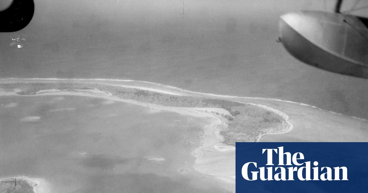
A New Zealand museum has released 47 high‑resolution black‑and‑white images from a 1938 aerial survey of the island where Amelia Earhart is believed to have crash‑landed. The Air Force Museum of New Zealand made the photos available on its website after receiving several requests. The negatives were discovered more than a decade ago by Matthew O’Sullivan, the museum’s keeper of photographs in Christchurch. Ric Gillespie, a leading Earhart investigator, called the images a “goldmine” and noted they were taken on 1 December 1938 by an amphibious biplane during a New Zealand survey of Pacific islands that was looking for suitable airbase locations.
Earhart and navigator Fred Noonan disappeared on 2 July 1937 while attempting to circumnavigate the globe at the equator. A prevailing theory is that the aviator ran out of fuel and was marooned on Nikumaroro, then known as Gardner Island, where she may have survived for a time on rainwater and local food. Evidence cited for this theory includes signs of a castaway’s campsite and artefacts such as glass from a jar thought to have contained cosmetic cream.
This week, archaeologists and scientists from Purdue University in Indianapolis are searching a part of the island for the “Taraia Object,” an elongated shape seen in a lagoon named after the area where it was first noted in a 2020 satellite image. Gillespie and other long‑time Earhart explorers remain skeptical, suggesting the object is likely a fallen tree rather than wreckage of Earhart’s Lockheed Model 10‑E Electra.
The small atoll, part of the archipelago country of Kiribati, has been visited dozens of times. In their latest update, the Purdue‑led expedition said severe weather had hampered metal‑detecting but that they would release an update within 48 hours. “Despite Thursday’s weather delay, the expedition remains on schedule, with two more days of field operations planned – and an update on the identification of the Taraia Object expected,” the university said. Expedition lead Rick Pettigrew, executive director of the Archaeological Legacy Institute, added that the identification process is complex and requires careful data collection and analysis.
The New Zealand military images are some of the earliest photographic evidence of the island, but there is no immediate sign of an object in the Taraia area.