Climate & Environment
UK Braces for Cooler, Wetter Week Following Weekend Heat Spike
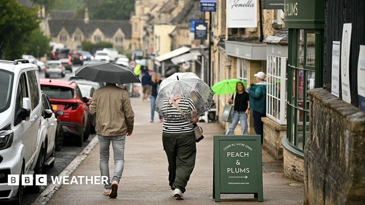
With meteorological summer at an end and schools back in session, unsettled conditions are set to return across the UK this week. Following a heat spike on Sunday, when temperatures in south-east England approached 29C (84F), low pressure systems will bring wet and windy weather, particularly to the north, before conditions stabilize by Wednesday and Thursday.
A cooler outlook is expected across England and Wales in the coming days. Despite a largely dry weekend, the Environment Agency reported that last week was the wettest in England since early February. Meanwhile, Spain recorded its highest temperature of the year so far, 45.7C in Huelva.
On Monday, falling pressure and a shift in wind direction will usher in a weather front moving down from the north-west, bringing cooler, fresher conditions. This front, consisting mainly of cloud with scattered showers, will move across England and Wales, followed by sunny spells. Temperatures are expected to peak at 25C in the south-east, with cooler, less humid air following behind the cloud band.
A separate band of heavier rain will develop over Northern Ireland on Monday morning, spreading to Scotland and Cumbria by the afternoon. Strong, gusty south-westerly winds will accompany the rain, keeping temperatures around 17C in Scotland and Northern Ireland.
On Tuesday, a deep area of low pressure northwest of Scotland will bring particularly windy conditions to northern parts of the UK, with gusts reaching 50-60mph in northern and western Scotland. While such winds are typical for the season, disruption is possible if they funnel through the central lowlands. Frequent showers will accompany the windy weather in the north. Further south, overnight rain lingering in the south-east during Tuesday morning will clear later, though it will not be heavy — a relief for England and Wales, which remain in drought.
By Wednesday, the low pressure system will move into the North Sea, bringing windy conditions along the east coast for a time. Elsewhere, rising pressure will result in a dry, sunny midweek with lighter winds for most areas.
Showers are expected to return to western parts of the UK on Thursday but will fade by Friday as they shift eastward. From midweek onward, temperatures are expected to align with seasonal norms, with the south-east reaching highs of around 22C.